This form may be used to lodge an appeal against any determinations under the above Act and its subordinate legislation. Please complete in BLOCK CAPITALS and black ink.
Please return the completed form to:
The Minister Department of Environment, Food and Agriculture, Planning and Building Control Directorate Murray House, Mount Havelock Douglas, Isle of Man, IM1 2SF or Email: [email protected]
To lodge a valid appeal it must be:
lodged by a party with either:
a. Interested Person' (See gov.im/interestedperson) or b. The Right to Appeal (See gov.im/appealrights)
made within 21 days of the Department decision having been issued
accompanied by the appropriate fee
in writing,
set out your preference for how the appeal will be held
(If a Hearing/Inquiry is requested, for which a second fee will apply)
supported by the grounds of appeal -
a. For the applicant, these must specify in detail and by reference to material planning considerations the reasons why they disagree with the determination. Where the appeal is against a refusal of the application on the grounds of deficient detail or supporting documentation, they must set out why the applicant considers that the information provided prior to determination was sufficient. The grounds of appeal cannot be based on a material alteration of the application information provided prior to determination. b. For persons with rights to appeal, these must relate to issues which that person included in written representations made prior to the determination of the application.
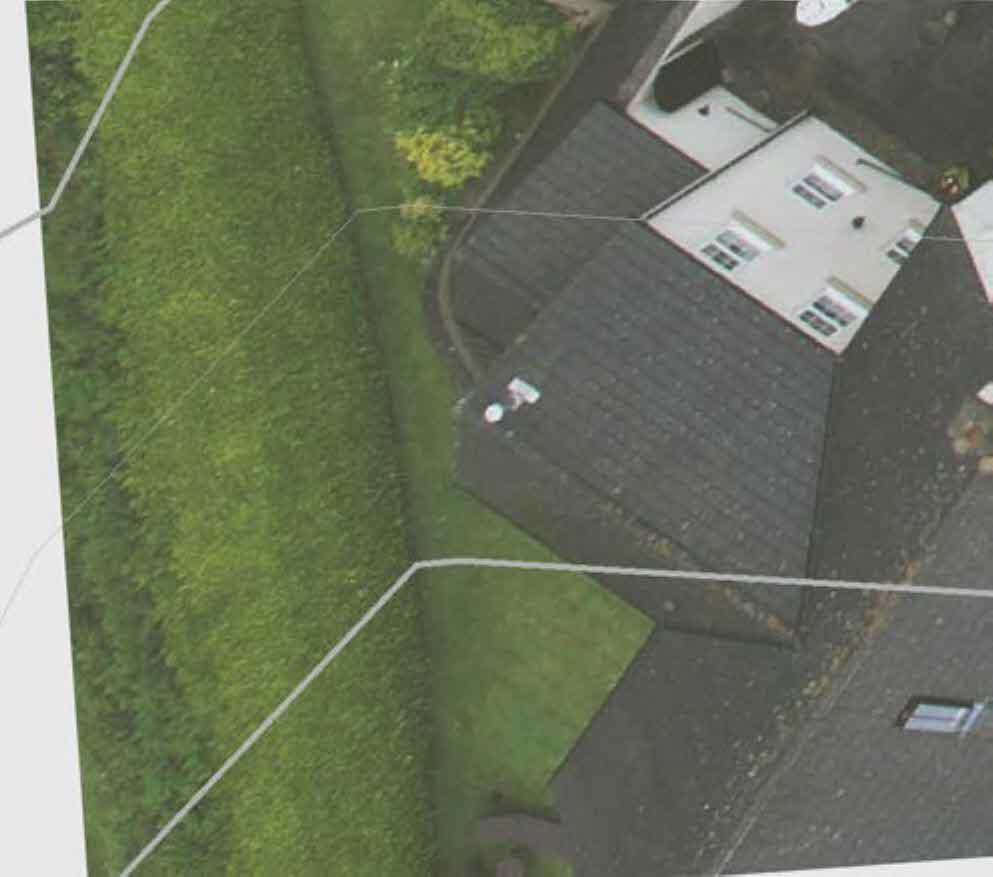
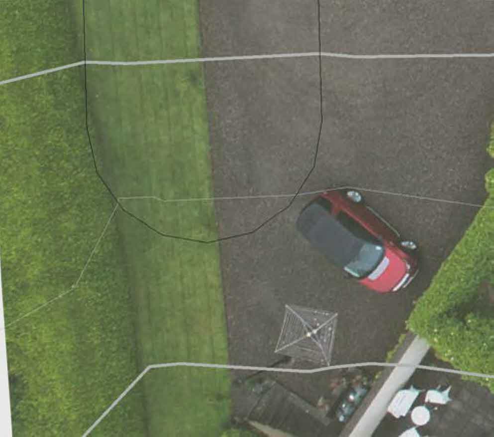
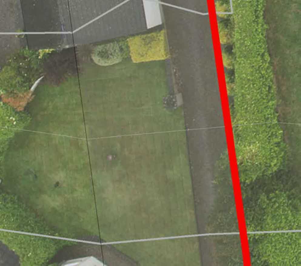
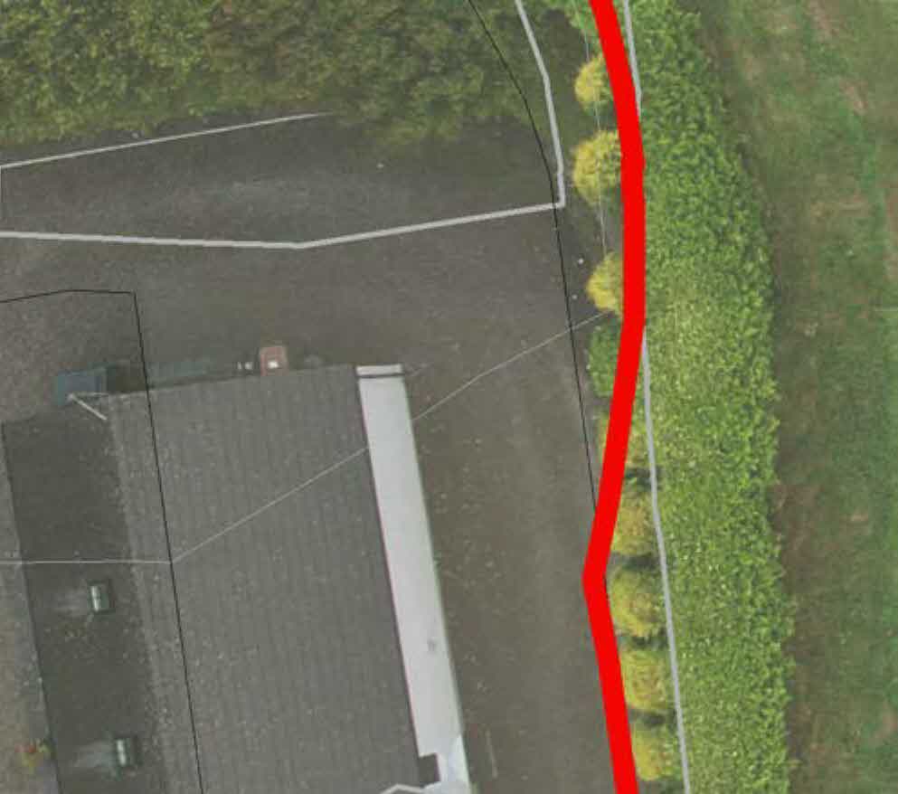
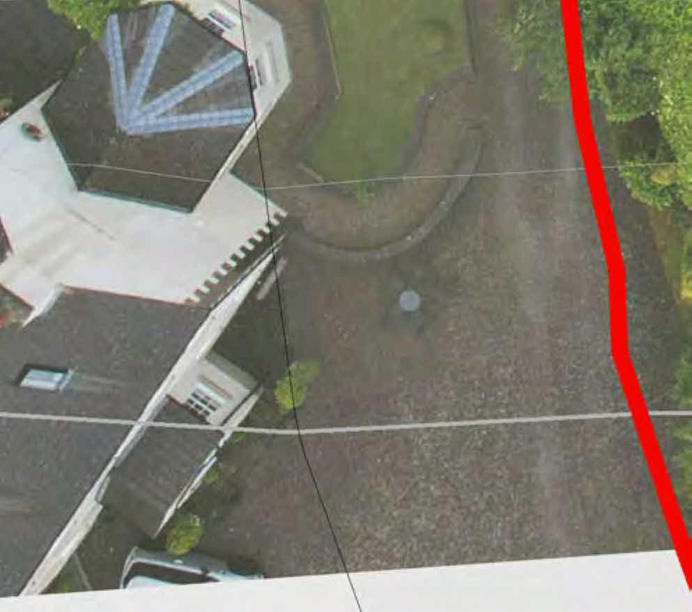
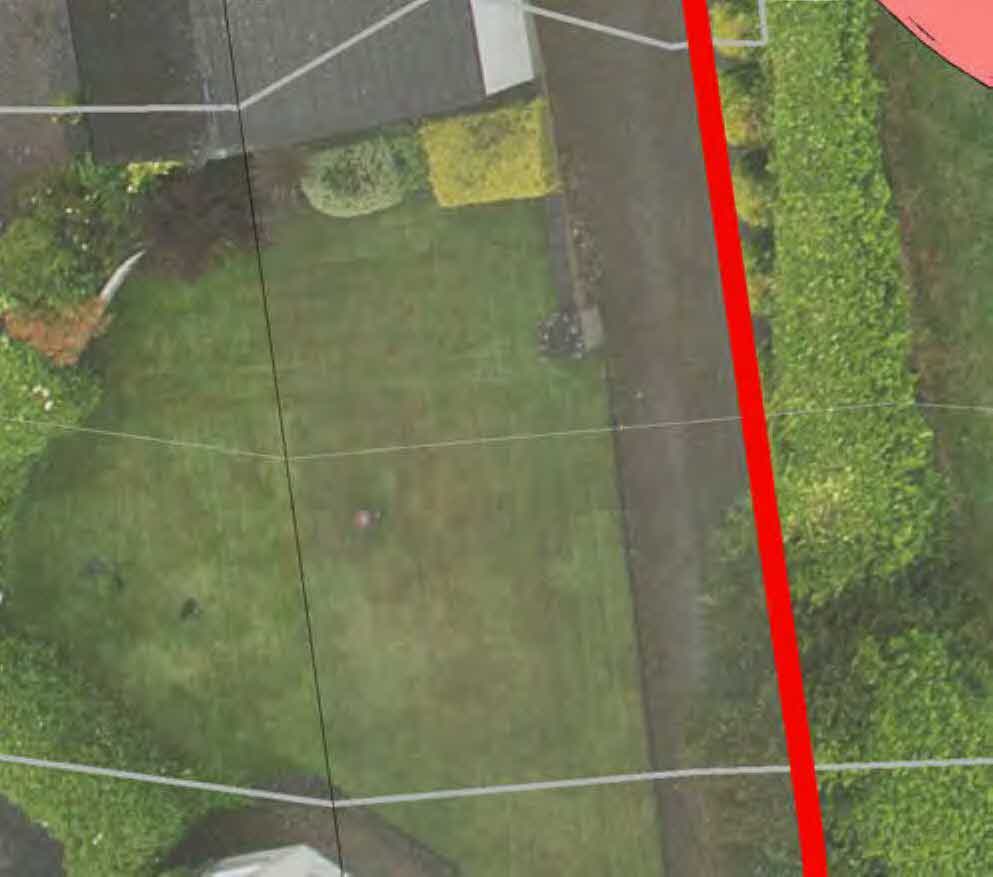
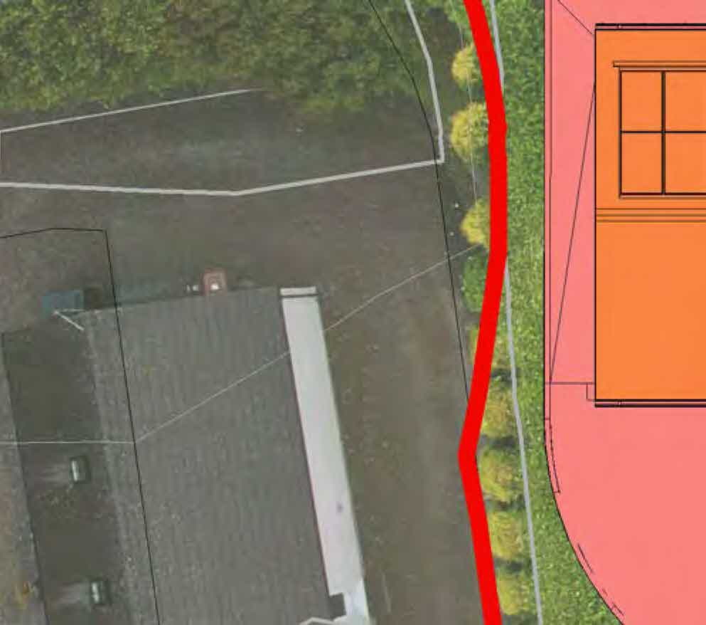
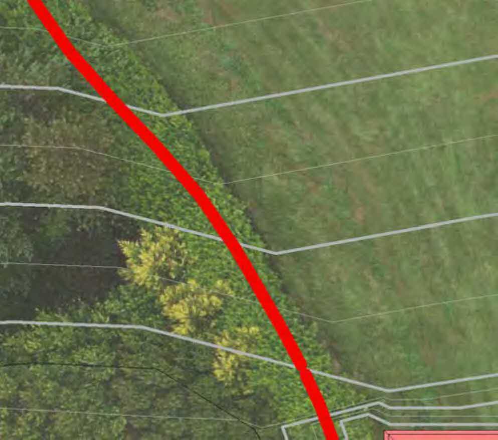
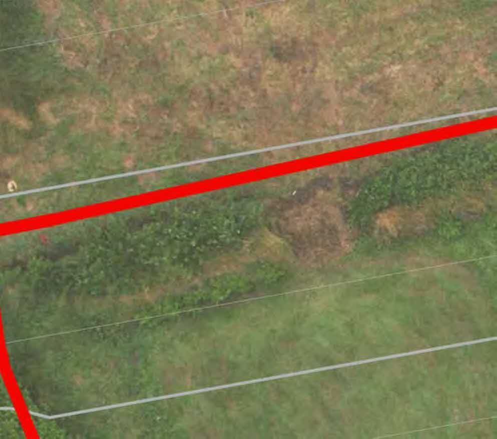
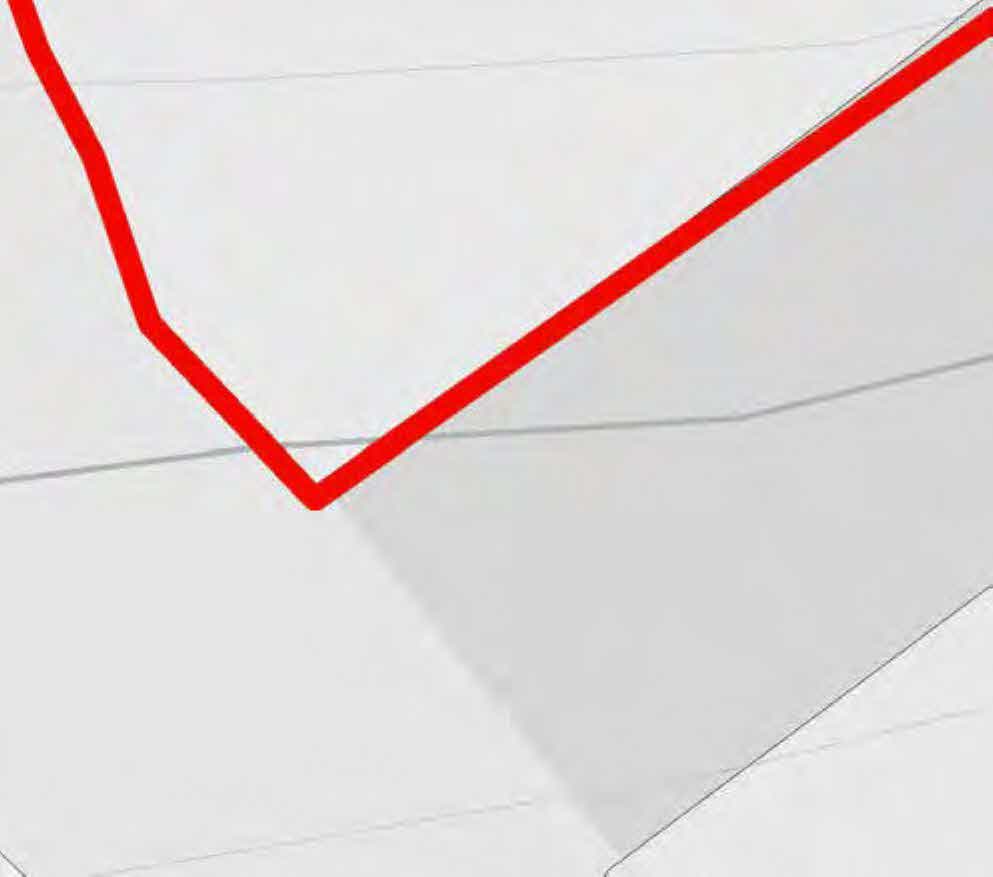
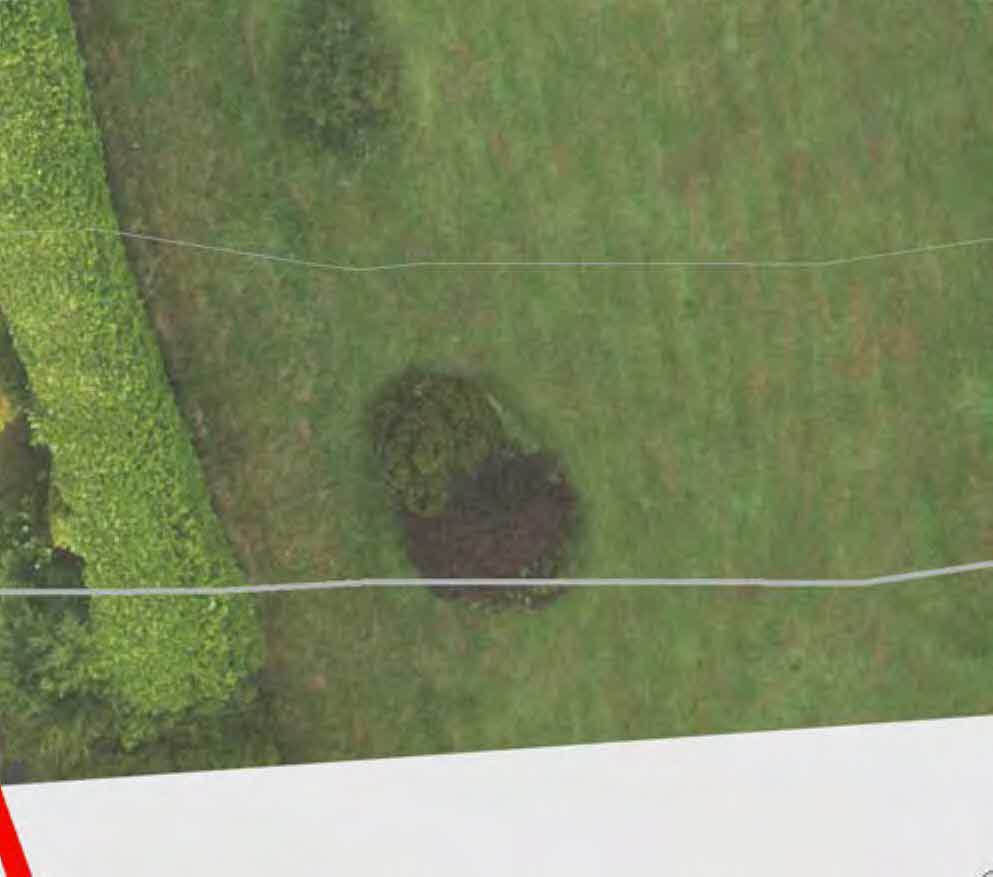
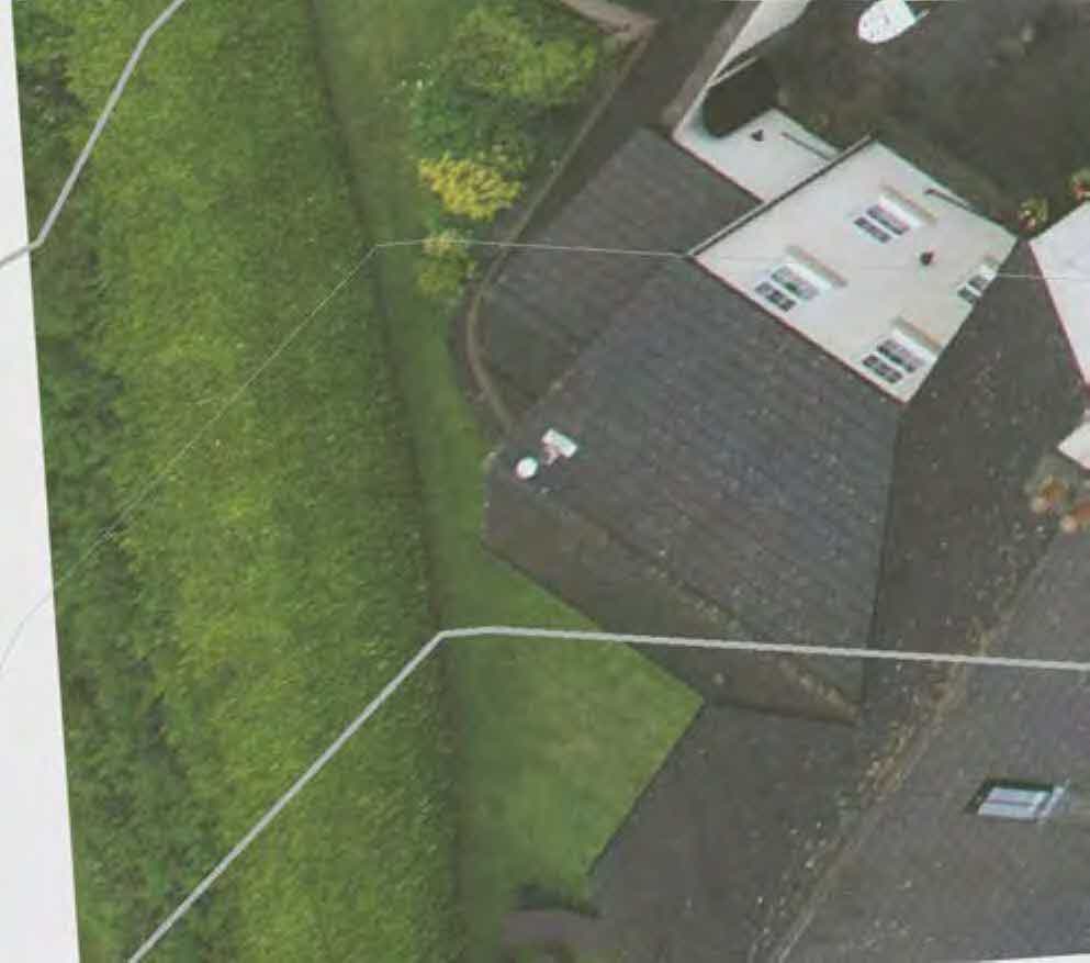
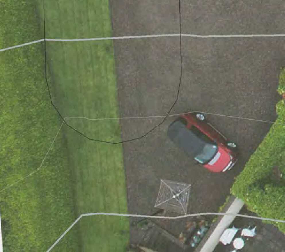
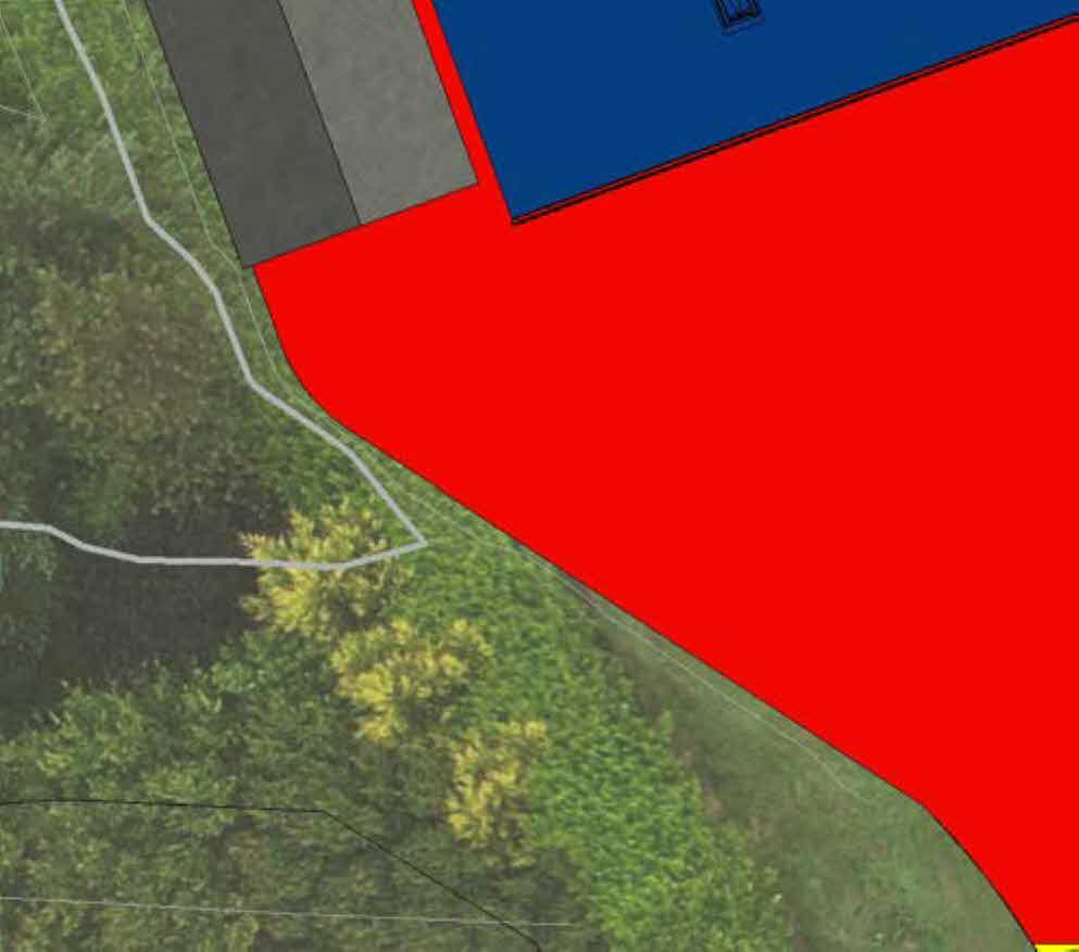
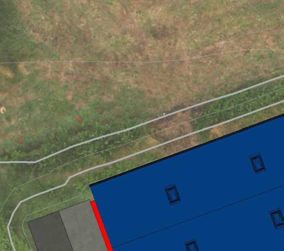
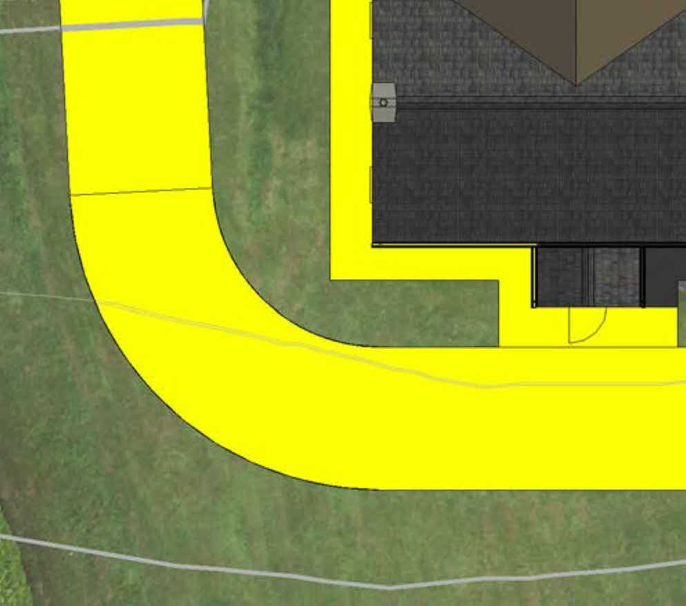
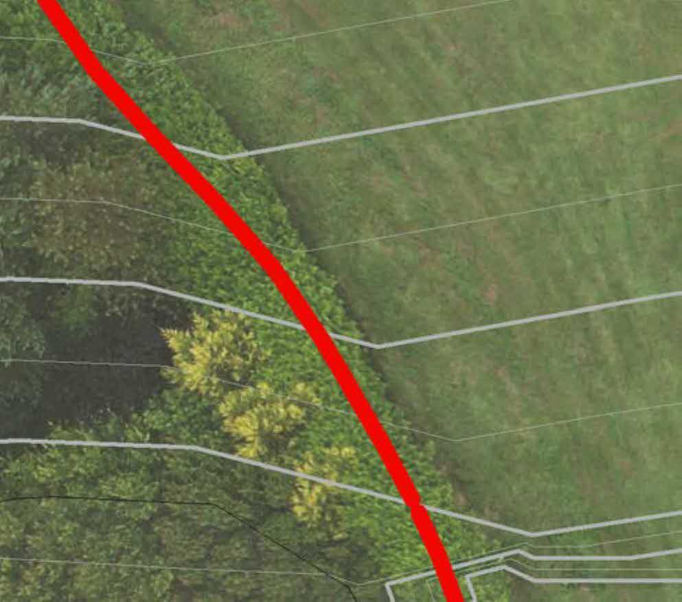
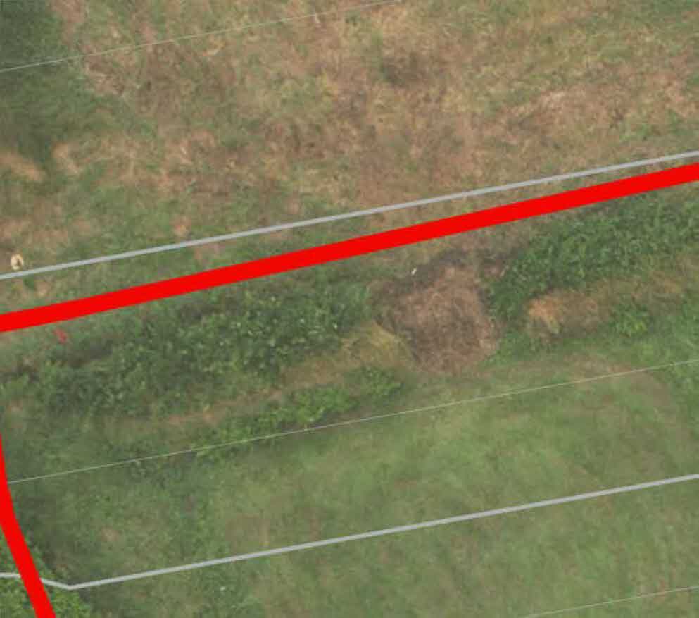
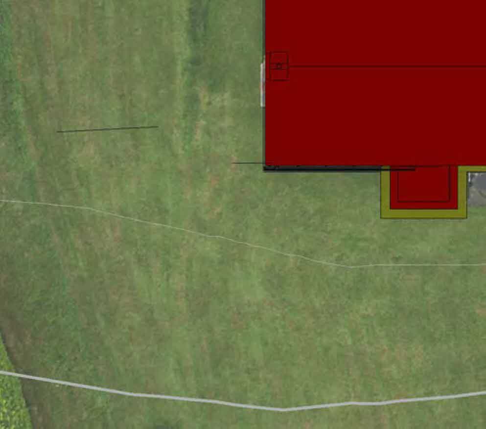
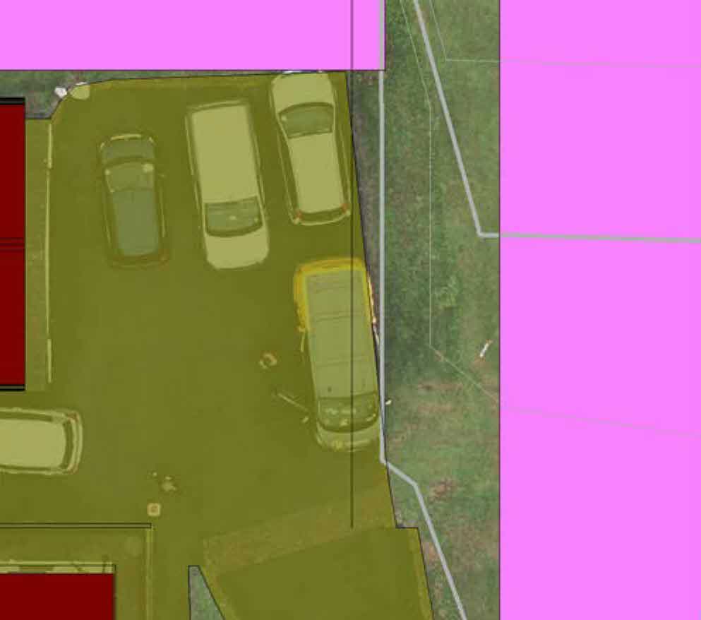
1) Site Address Balladhoo Croft Clanna Road Braaid IM4 2HW
2) Planning Application Number 24/91345/B (e.g. 24/X0000X/B)
If the application was made by a company and the name of the company has changed since the initial application was made, this must be clearly indicated.
6) REASONS FOR APPEAL Continue on a separate sheet if necessary Reason for Appeal will be highlighted in the report to be issued.
7) Appeal to processed as; Do you wish this Appeal being progressed by inquiry or written representation? Written ☐ Inquiry ☑ Householder ☐ If you opt for an Inquiry a second fee of £130 is payable.
Agent details (if any) Information on the householder process can be found at https://www.gov.im/householder Leave this section blank if there is no agent. Where an agent is specified, all correspondence relating to the appeal will be directed to the agent. Any change of agent must be notified promptly and confirmed in writing.
8) Agent name Ian Piercy - NB Design
9) Agent address 127 Royal Avenue Onchan Isle of Man [email protected]
The Department of Environment, Food & Agriculture (DEFA) is a controller for the purposes of the Data Protection Act 2018 and related legislation and requires the information supplied by this application in the public interest to comply with obligations under the Town and Country Planning Act 1999 and its subordinate Orders and Regulations.
Your personal information will be held by DEFA for the purposes of processing this application and to ensure compliance with the provisions of the Town & Country Planning Act 1999.
All applications made under these obligations are available online with most personal contact detail redacted. Any hard copy, where we hold it, will retain all detail.
Your application will be published via our viewing platforms as is required by statute. It will also be shared with DOI Highways, the Local Authority and (where relevant) Manx National Heritage. Where necessary we will share your contact detail as part of the consultation with the DEFA Environmental Protection Unit and Manx Utilities.
Details under these applications are retained indefinitely in order to maintain the application register as required under the Town and Country Planning Act 1999. Contact detail will be removed 7 years after a decision becomes final.
Full details of how and why DEFA 2020 personal information are contained in our P&BC Privacy Notice available on our website In the case of a ‘first’ or other corporate body, the corporate body should be named. Signature Relationship to the Appellant (if necessary) AGENT
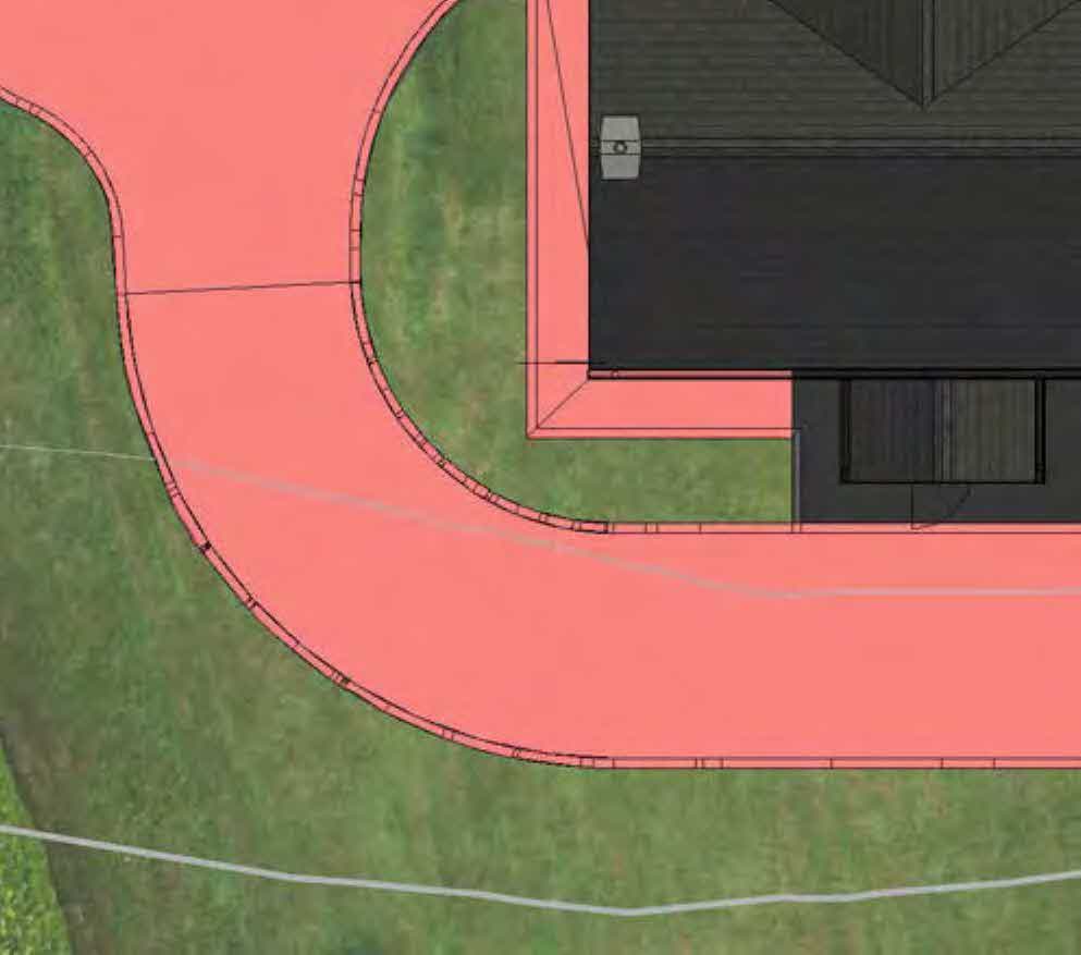
<br><br>Total Area New Build Option 02 - 116m² Total Area New Build Option 02 Hardstanding - 226m²
---
---
---
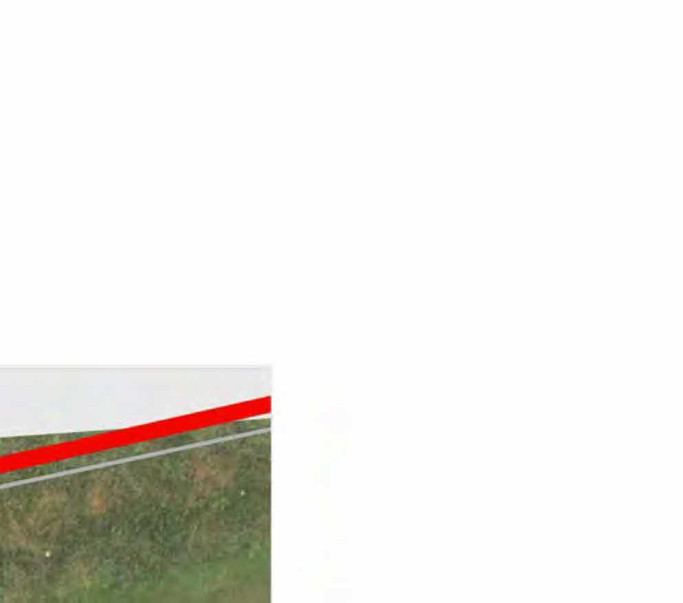
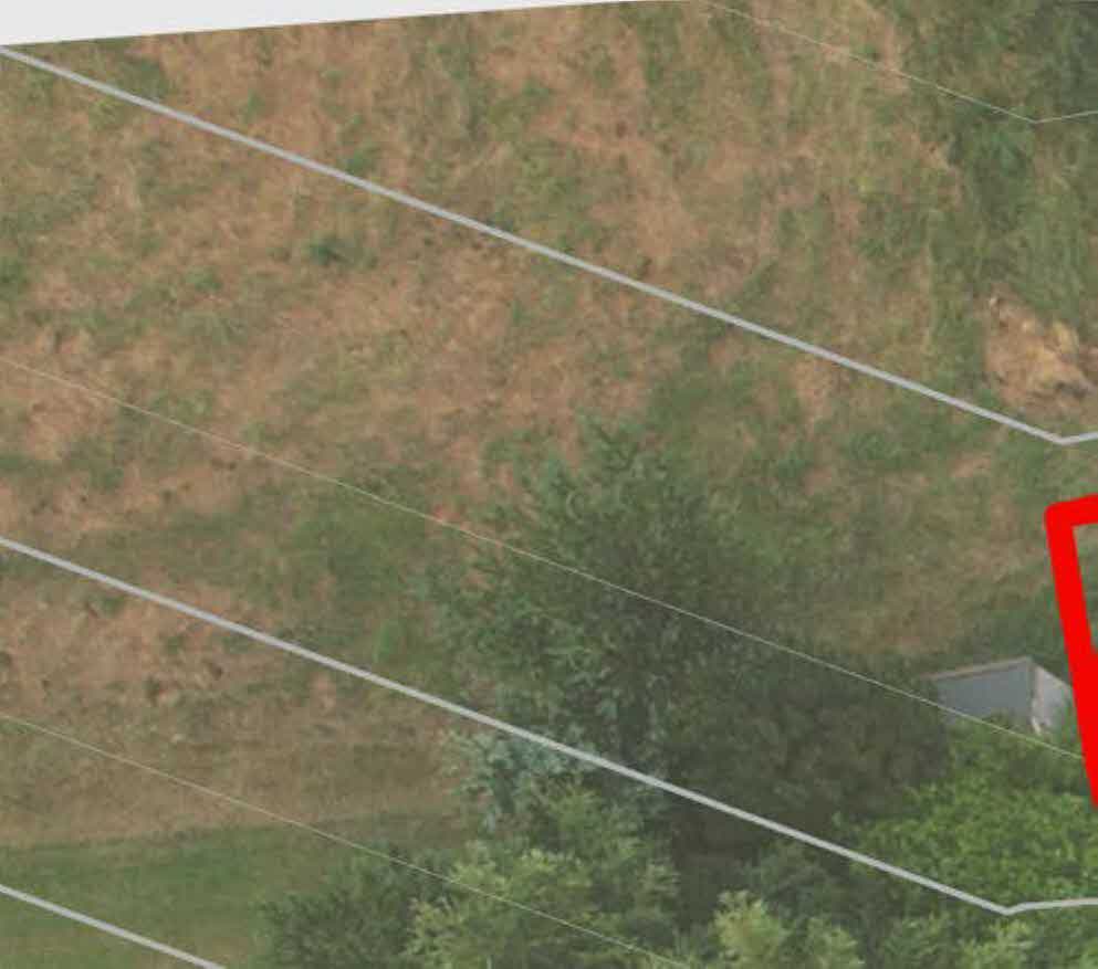
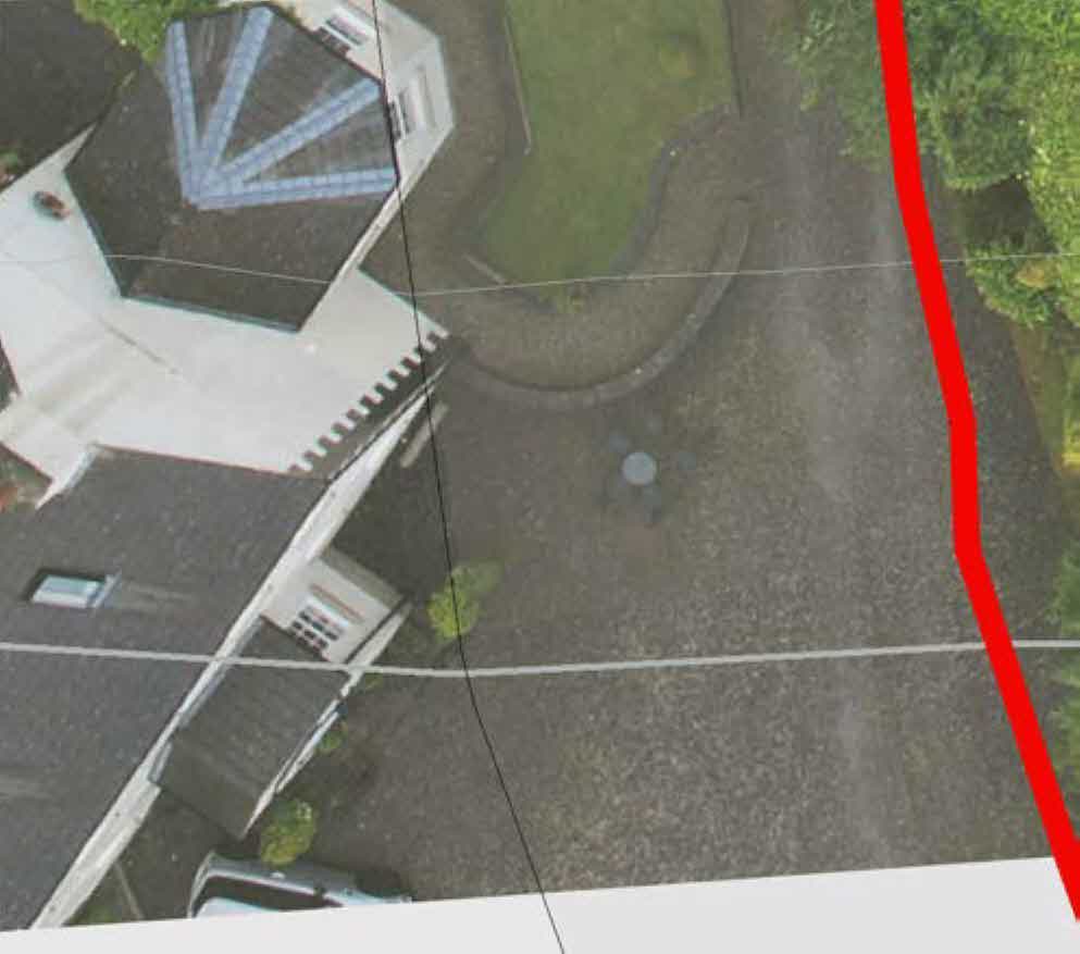
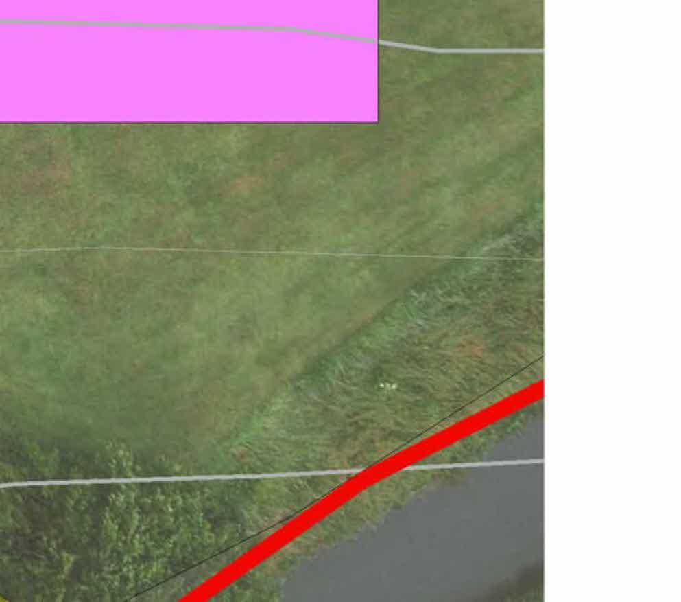
A cropped fragment of a technical drawing or site plan showing a grey area and a boundary line against a white background.A close-up view of a white exterior wall with horizontal lines adjacent to green vegetation.Close-up view of a white wall or fence with horizontal rails next to a grassy area.A partial view of a document showing a section of an aerial map or site plan with green and brown terrain on the right side.An aerial view of a detached property showing a dark roof, a white two-storey section, and surrounding green garden land with white boundary lines overlaid.Aerial view of a property site showing a driveway, lawn, and patio with white boundary lines and a black outline indicating a proposed development area.An aerial view of a grassy, sloping plot of land with white boundary lines overlaid, showing a small outbuilding in the corner.An aerial photograph showing a detached house, driveway, and garden area with a red line indicating the site boundary.Aerial view of a residential property site showing a lawn, driveway, and hedges with white and red boundary lines overlaid.Aerial view site plan showing a detached house, driveway, and a red line marking a boundary hedge.An aerial view of a grassy field and hedgerow with white boundary lines and a prominent red line overlaid, indicating site boundaries or proposed works.An aerial view of a grassy plot of land with red and white lines overlaid, likely indicating boundaries or site limits.Aerial view of a grassy plot of land with hedges and trees, showing boundary lines.Aerial site plan showing proposed building footprints in purple and yellow overlaid on a grassy field.Aerial site plan showing proposed building footprints in purple and a driveway area in yellow overlaid on a grassy plot.An aerial site plan showing a grassy plot of land adjacent to a road, marked with a prominent red boundary line.Aerial site plan showing a property boundary, a purple building footprint, and a yellow highlighted access driveway.An aerial site plan showing a driveway with parked cars, property boundaries, and building footprints indicated by purple blocks.A cropped aerial view or map section showing a grassy field with faint white diagonal lines indicating boundaries or survey markers.A cropped section of a site plan showing a road or path edge, grassy ground, and a prominent red boundary line.A cropped section of a site plan or map showing green vegetation, a grey path, and red and white boundary lines.A cropped view of a site plan or aerial map showing a grassy field with white boundary lines and a red highlighted area.A cropped section of a site plan showing white boundary lines overlaid on a green grassy background.A small fragment of a map or plan is visible in the bottom left corner, showing a green field with red and grey lines, while the rest of the page is blank white space.
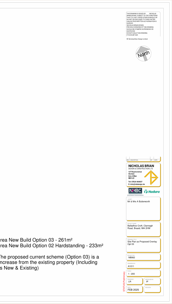
<br><br>5m 20m<br><br>North<br><br>Total Area New Build Option 03 - 261m² Total Area New Build Option 02 Hardstanding - 233m²<br><br>Note: The proposed current scheme (Option 03) is a 190% increase from the existing property (Including garages New & Existing)
---
---
---
A close-up view of a white exterior wall surface with a faint horizontal line and a small strip of green grass on the right edge.A close-up view of a white vertical wall or panel with horizontal lines, situated next to green vegetation.A cropped section of a site plan showing a white rectangular area, likely a building or driveway, adjacent to a green grassy area with faint boundary lines.A cropped section of a document showing a patch of grassy ground with horizontal lines, likely part of a site plan or location map.A cropped section of a planning site plan showing property boundary lines and colored blocks representing structures or land use.An aerial view of a residential property showing a house roof and garden with white boundary lines overlaid.Aerial view of a rural property showing a driveway, lawn, and red car with white and black boundary lines overlaid.An aerial site plan showing a grassy plot with trees and a small structure, overlaid with white boundary lines and a red outline.An aerial view of a detached property showing the house, driveway, and surrounding land with a red boundary line marked on the right side.Aerial view of a residential property site plan showing a lawn, driveway, and hedges with overlaid boundary lines.A composite site plan showing an aerial photograph of the existing property alongside a colored footprint indicating the proposed extension.An aerial view of a grassy plot with trees, overlaid with white boundary lines and a prominent red diagonal line, indicating a site plan.An aerial view of a grassy plot of land with red and white lines overlaid, indicating site boundaries or survey lines.A zoomed-in section of a site plan showing faint grey property boundaries and a prominent red line highlighting a specific boundary or area.An aerial view of a grassy plot with a hedge and bushes, showing white boundary lines, likely part of a site plan.A top-down site plan detail showing a curved pink driveway, green lawn areas, and the corner of a building with dark roofing.A close-up architectural drawing showing a building elevation with windows and colored sections, likely illustrating the proposed extension and garages.The image shows a site plan overlaid on an aerial view of a grassy field, featuring contour lines and the colored footprint of a proposed building extension in the bottom right corner.An aerial view of a grassy plot with a road and a prominent red line overlaid, likely indicating a boundary or site limit.Aerial site plan view showing a proposed extension area highlighted in pink adjacent to an existing building and driveway.Aerial view showing a building with orange cladding adjacent to a grassy field with white lines.Aerial site plan view showing grassy land with white boundary lines and a partial building footprint in the bottom left corner.A cropped section of a site plan showing a grassy area with a red boundary line and a grey line.A cropped section of a site plan showing white boundary lines overlaid on a grassy aerial view of the land.A cropped fragment of a site plan showing a red line and grey boundary line over a grassy area.This image shows the title block and header information for a planning document titled 'Site Plan as Proposed Overlay Opt 03' for a property in Braaid.
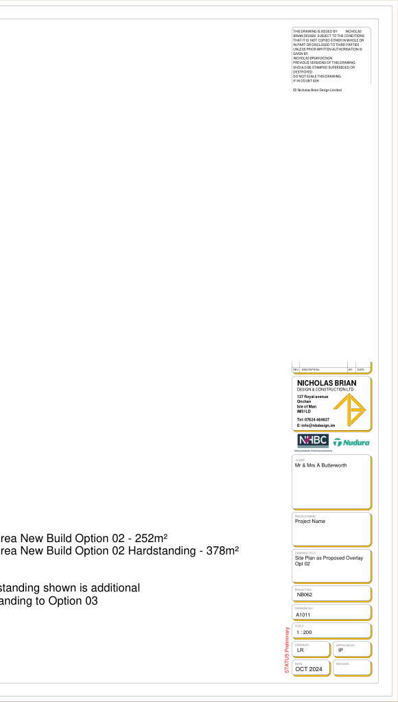
<br><br>OCT 2024<br><br>* Hardstanding shown is additional Hardstanding to Option 03<br><br>Total Area New Build Option 02 - 252m² Total Area New Build Option 02 Hardstanding - 378m²
---
---
---
A blank architectural drawing sheet featuring a title block for Nicholas Brian Design & Construction Ltd, labeled as a site plan for a new build option.A cropped view of a 3D architectural rendering or elevation showing a white wall, grey surface, and green grass.A cropped view showing a white vertical wall surface adjacent to green vegetation and grass.A partial view of a site plan or aerial map showing a grassy area with faint horizontal lines, likely part of a location plan.A cropped section of a site plan showing faint property boundary lines and a color-coded legend on the left side.An aerial view of a residential property showing the roof, garden, and surrounding greenery with white boundary lines overlaid.Aerial site plan showing a driveway with a red car, grassy area, and white boundary lines overlaid with a black outline indicating a proposed structure.A low-resolution photograph showing a patch of grassy and muddy ground with vegetation and a small grey structure in the corner.An aerial photograph showing a detached house with a gravel driveway, garden, and surrounding vegetation.An aerial view of a residential property showing a lawn, driveway, and hedges with white lines indicating boundaries or proposed works.Aerial site plan showing a residential property with a proposed white extension or garage structure and boundary lines.A site plan showing colored zones overlaid on an aerial photograph of a green, rural property.Aerial site plan showing a proposed blue extension footprint with windows, adjacent to existing grey structures and grassy land.Aerial view of a grassy plot of land with white boundary lines overlaid on the surface.A site plan view showing a detached property with a proposed extension and a highlighted yellow driveway curving around the side.Aerial site plan showing white boundary lines and colored blocks representing buildings on a grassy plot.Aerial site plan showing property boundaries overlaid on a grassy field with a blue building footprint and a red proposed extension area.An aerial view of a grassy plot of land with white boundary lines overlaid, showing a tree and a road.An aerial site plan view showing a property with a building footprint, driveway, and a large yellow highlighted zone on green land.The image displays a cropped section of a site plan or map, showing a diagonal boundary line separating a white area from a grassy surface.A partial, close-up photograph showing green vegetation behind a dark mesh or netting structure with white strings or wires.A low-resolution, cropped image showing a patch of green grass with thin white lines, likely fence wires. The texture suggests a rural or agricultural setting.
<br><br>Total Area New Build Option 01 - 434m² Total Area Existing buildings to be demolished - 116m²
---
---
---
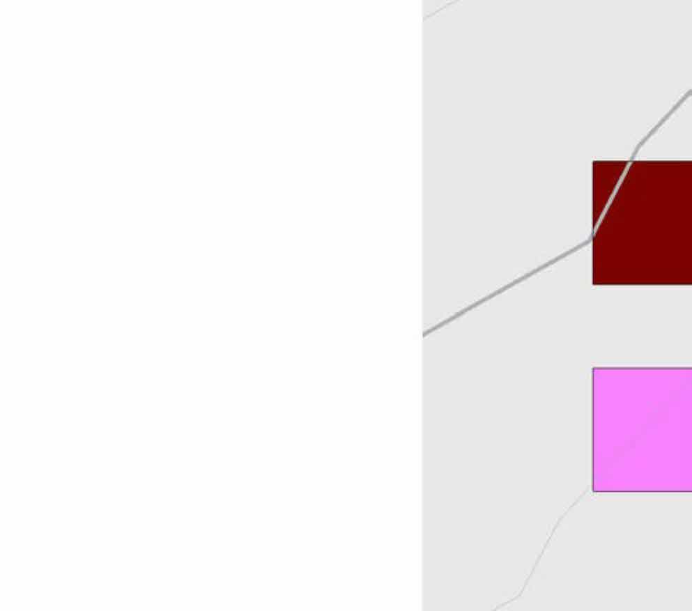
A cropped section of a site plan showing colored rectangular blocks representing building footprints and grey lines indicating roads or boundaries.A cropped section of a document showing a grey area with a diagonal line and a sliver of green grass on the right edge.A partial view showing a white vertical wall structure adjacent to green foliage and grass.A close-up view of a paved surface, likely a driveway or path, bordering a grassy area.A partial view of a document page showing a site location map or aerial photograph of a grassy field on the right side.A cropped section of a site plan showing property boundary lines and colored rectangular highlights.An aerial view of a residential property showing a house with a dark roof and a large green garden, overlaid with white boundary lines.Aerial view of a property site showing a driveway, lawn, and patio with white boundary lines and a black outline indicating a proposed development area.An aerial view of a sloping grassy site with white boundary lines overlaid and a red outline indicating a proposed structure.Aerial view of a residential property showing the house, driveway, and garden area with a red boundary line.Aerial view of a residential property site showing a lawn, driveway, and hedges with white and red boundary lines overlaid.Aerial view site plan showing a detached house, driveway, and a red line marking a boundary hedge.An aerial view of a grassy field and hedgerow with white boundary lines and a prominent red line overlaid, indicating site boundaries or proposed works.An aerial view of a grassy plot of land with red and white boundary lines overlaid.An aerial view of a grassy plot of land featuring a hedge boundary on the left and shrubbery in the center, likely a site location map.Aerial site plan showing a red building footprint overlaid on a green grassy field with boundary lines.A top-down site plan showing a property layout with red building footprints, a yellow driveway with cars, and surrounding green land.An aerial view of a grassy field with faint fence lines and a bright pink highlighted area in the bottom right corner indicating a site boundary.An aerial site plan showing a grassy plot of land adjacent to a road, with a prominent red boundary line overlaid.Aerial view of a rural property site with colored polygon overlays indicating property boundaries and zones.Aerial site plan showing a driveway with parked cars and property boundaries marked with colored overlays.A site plan showing green land with white boundary lines and pink highlighted rectangular areas representing building footprints or land parcels.Aerial view of a grassy field with faint white survey or boundary lines overlaid, likely a section of a site location map.A cropped section of a site plan showing a road surface, grassy area, and a prominent red boundary line.A close-up section of a site plan showing green vegetation with red and white lines indicating boundaries or proposed works.Aerial site plan showing a grassy field with a pink highlighted area and a red boundary line.A cropped section of a site plan showing a grassy area with white boundary lines and a pink rectangular overlay indicating a proposed area.A cropped section of a site plan showing a grassy field with red and grey boundary lines overlaid.
Copyright in submitted documents remains with their authors. Request removal